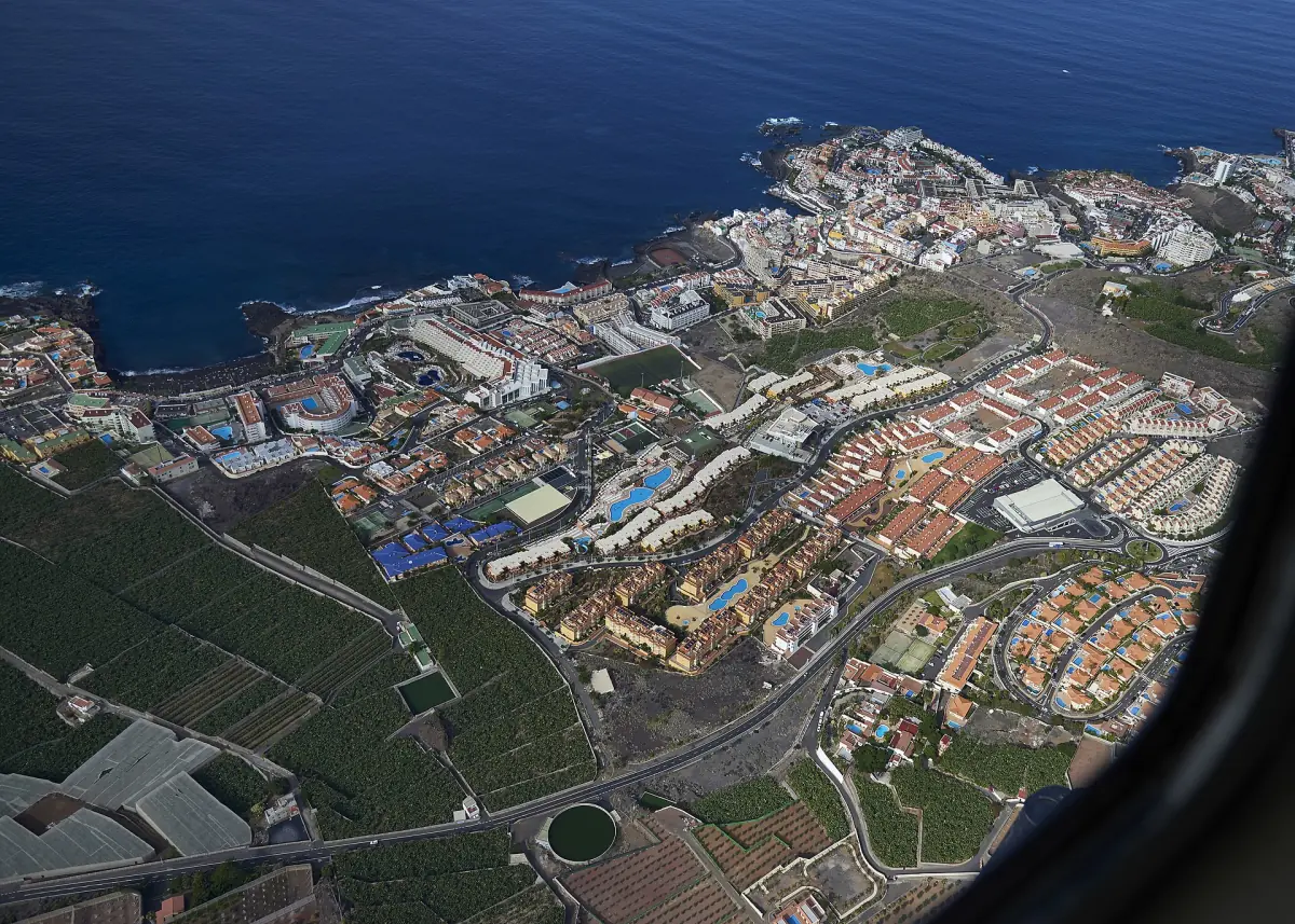
Los Gigantes weather in short
The tables on this page come from the Spanish weather service AEMET, from the station Tenerife Sur Aeropuerto (code C429I) in Granadilla de Abona at 64 m above sea level. The station is on the south coast, not in Los Gigantes. We use it as a regional comparison, not as an exact local climate, and the figures are climate normals for 1981 to 2010. They describe a typical year in the past, not the weather of 2026 and not a forecast.
On this basis the coast is mild all year. The mean daily high stays between 21.7 °C in January and 28.4 °C in August, and the mean daily low never falls below 15 °C. Summer is dry, and rain is concentrated in the winter months. Check a current forecast a few days before you travel. This is an independent guide, not a weather service.
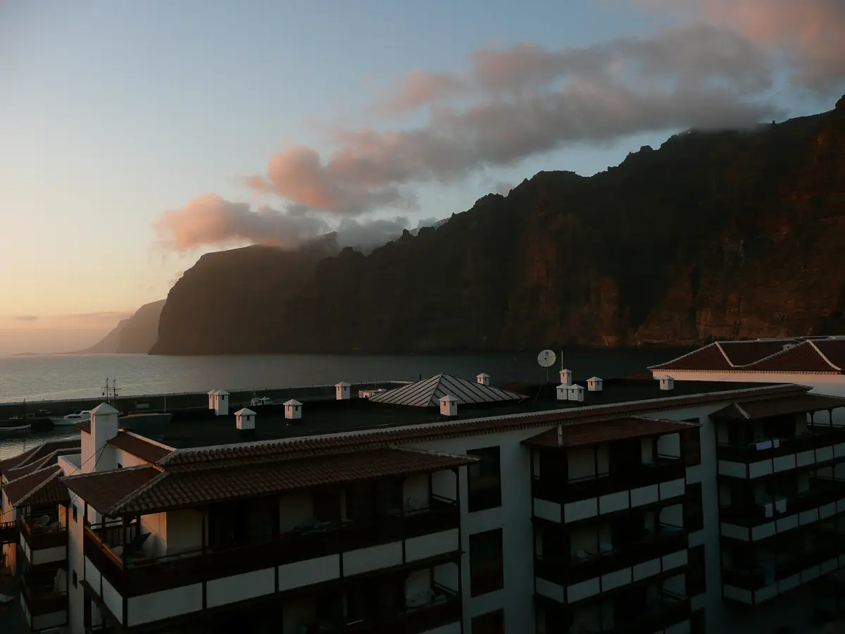
Tenerife South Airport climate normals; regional comparison
AEMET, 1981 to 2010. "High" is the mean of the daily maximum, "low" the mean of the daily minimum, rain is the mean monthly total.
| Month | High | Low | Rain |
|---|---|---|---|
| January | 21.7 °C | 15.2 °C | 17 mm |
| February | 22.0 °C | 15.0 °C | 20 mm |
| March | 23.1 °C | 15.6 °C | 15 mm |
| April | 23.1 °C | 16.0 °C | 7 mm |
| May | 23.9 °C | 17.0 °C | 1 mm |
| June | 25.4 °C | 18.8 °C | 0 mm |
| July | 27.7 °C | 20.2 °C | 0 mm |
| August | 28.4 °C | 21.1 °C | 1 mm |
| September | 27.9 °C | 21.1 °C | 4 mm |
| October | 26.8 °C | 20.0 °C | 12 mm |
| November | 24.8 °C | 18.2 °C | 26 mm |
| December | 22.8 °C | 16.5 °C | 30 mm |
The series is older than today's climate, so recent years may differ. Read it as a shape: June and July are the driest months, August has the highest daily highs, and December has the most rain. None of this promises dry or sunny days in any month.
Tours from Los Gigantes in every season
Boat trips, whale and dolphin watching, Masca and Teide excursions from Los Gigantes, with live prices and availability.
Best time to visit the west coast
The best month depends on what you want to do.
| Plan | When it works | Good to know |
|---|---|---|
| Beach days | Late spring to early autumn | May to September are the driest months in the table, with highs of 23.9 to 28.4 °C. Los Guíos and La Arena are black sand beaches, see beaches |
| Whale and dolphin boats | Almost all year | The tourism board describes resident pilot whales and bottlenose dolphins off the southwest coast. That means a chance to see them, not a guarantee. See whale watching |
| Hiking | Autumn to spring is mild; summer is warm on the coast | Dated trail closures apply in autumn 2026, see hiking |
| Almond blossom | Roughly late January to March | The tourism board describes an almond blossom route in this window. The exact start varies, so check the bloom before you plan around it |
| Teide | Year-round, with weather risk | The cable car can stop in bad weather, see below |
Winter on the coast is not cold by northern standards, with highs around 22 °C. It is also when the table shows the most rain, with 17 to 30 mm a month from November to February. If you want the least rain, aim for May to September. These are readings of a table, not promises. A second island for comparison is covered in the Fuerteventura weather guide.
Mountains and the Teide are a different climate
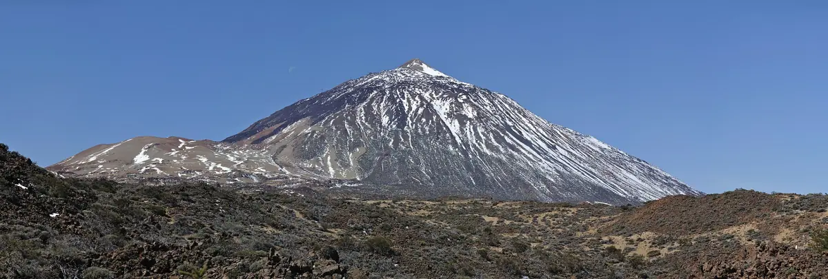
The coastal table does not apply to Masca, Arguayo or the Teide. The cable car operator describes a high-mountain climate on the Teide, with cold even in summer. The base station is at 2,356 m and the upper station at 3,555 m. Take a warm layer, closed shoes and sun protection, whatever the beach looked like in the morning.
The cable car can stop in adverse weather, mostly because of wind. The operator says it announces changes at about 8:30 a.m. Cancellations are possible on any day, so keep the afternoon flexible and book a slot you can change. For 2026 the operator lists hours of 9 a.m. to 5 p.m. from 1 January to 27 March and again from 25 October to 31 December, with the last ride up at 4 p.m. From 1 July to 30 September it runs until 6:40 p.m. More on the Teide page.
Dust, layers and what to pack
Points that the average table does not show.
Calima
Saharan dust episodes return from time to time and can affect health and traffic. AEMET publishes daily maps for the Canary Islands that show the chance of dust near the ground. There is no fixed calima calendar for Los Gigantes, so look at the map in the days before you go.
Layers
The coast changes little from month to month, but a Teide or Masca day can span a big difference in temperature. Pack a light jacket even in July if you plan a mountain day.
Autumn and winter
November and December carry the most rain in the table. The bus to Punta de Teno can stop when the road is closed because of weather, and the Masca pier can close at short notice when the sea is rough. See the Masca gorge page.
Los Gigantes weather: questions
Is there a weather station in Los Gigantes?
This page uses the official AEMET station at Tenerife South Airport as a regional comparison. Los Gigantes is on the west coast, so the real values can differ. Treat the table as the shape of a typical year.
What is the driest time of year?
In the airport table June and July have 0 mm of mean rainfall and May and August 1 mm. That is a mean of past decades, not a guarantee for a given week.
When is it warmest?
August has the highest mean daily maximum at 28.4 °C, with September at 27.9 °C and July at 27.7 °C. The mean low is 21.1 °C in August and September.
Is it cold in winter?
On the coast the mean daily high is about 22 °C from December to February in the table, and the mean low is 15 to 16.5 °C. In the mountains and on the Teide it is much colder.
Can wind stop the Teide cable car?
Yes. The operator can cancel runs in bad weather and says it informs ticket holders at about 8:30 a.m. Check before you drive up.