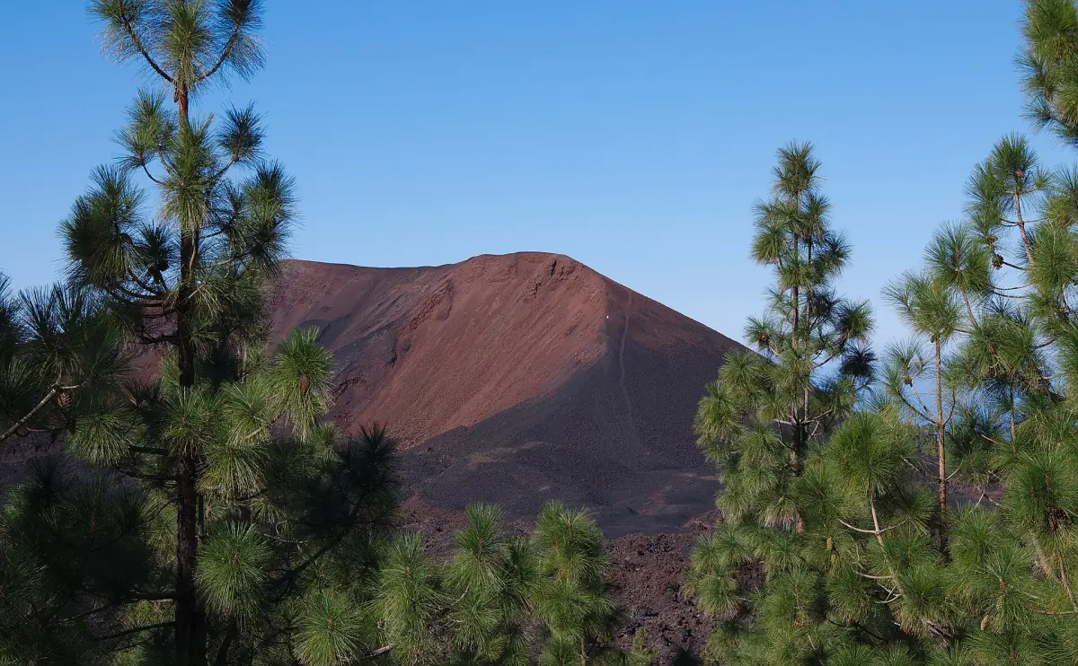
Chinyero at a glance
Chinyero is a volcanic cone north of the village of Santiago del Teide, surrounded by Canary pine forest and fields of dark lava. Its eruption began on 18 November 1909 and lasted about 10 days, according to the official tourism page. It is the last historical eruption on Tenerife. The cone stands at 1,560 meters.
It lies inside the Chinyero Special Nature Reserve, which covers about 24 square kilometers across the municipalities of Santiago del Teide, El Tanque and Garachico. A walk here is easy underfoot, but the access rules and the dated closures matter more than the distance. Climbing the cone itself is not allowed.
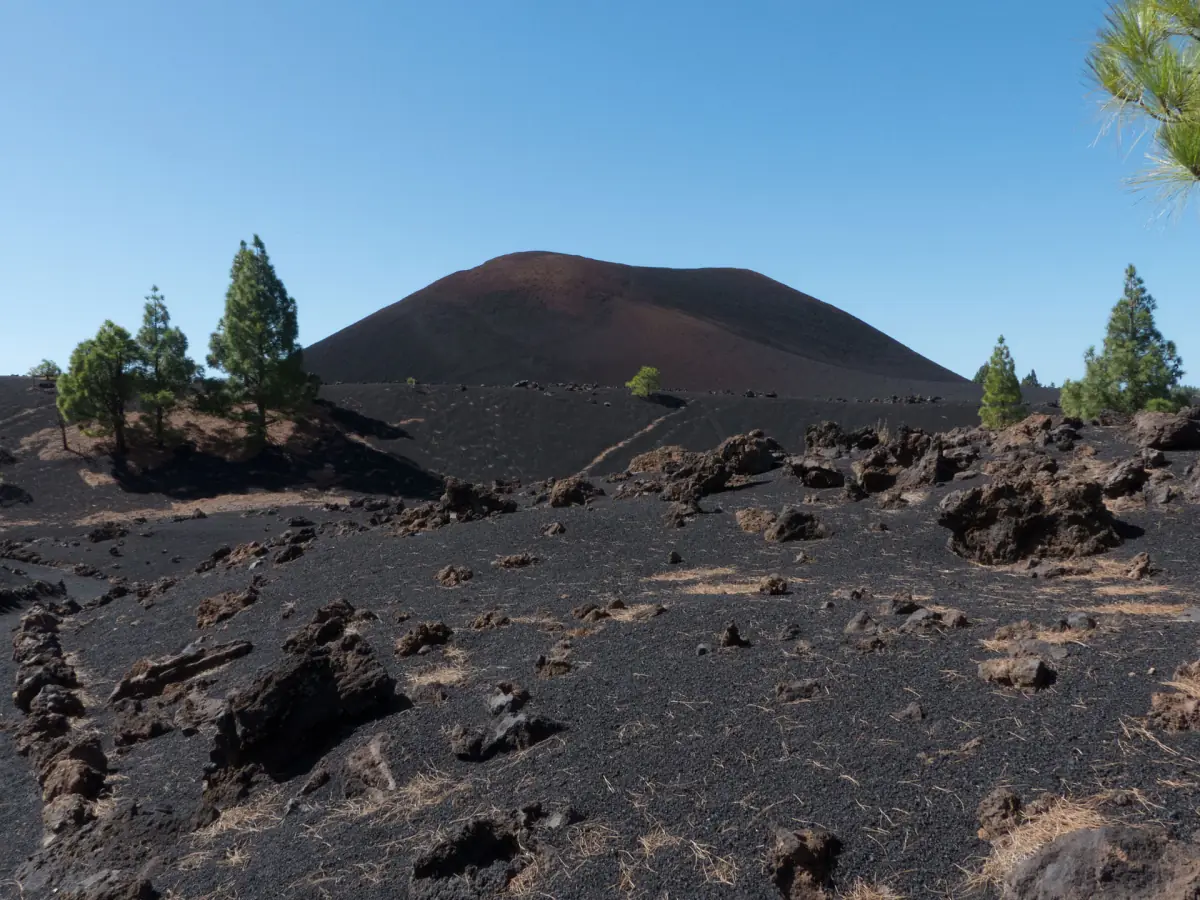
The circular route
The municipal tourism page describes a circular route of 6.44 km that takes about 2 hours 30 minutes and is rated easy. It starts at kilometer 15 of the TF-38, at a track closed to traffic. You walk through pines along the old lava flows. The route goes around the cone and does not climb it, because the ascent is forbidden.
The official island tourism site gives a second access: from the TF-82 to Valle de Arriba, then about 400 meters of paved road to the reserve. That does not mean you can drive to the cone.
Bring water, sun protection, sturdy shoes and a layer for wind. Forest at this height is cooler than the coast, and the coastal figures on our weather page do not apply here.
Tours near Chinyero and Teide
Guided excursions to Teide, Masca and the west coast from Los Gigantes, with live prices and availability.
Route numbers: two descriptions
Two official pages use the number PR-TF 43.3 for different things. The municipal tourism page uses it for the 6.44 km circular route from the TF-38. The island tourism page describes PR-TF 43.3 as a linear feeder trail from Santiago del Teide to the Chinyero circular, 7.4 km and 2 hours 30 minutes, rated medium, without a regular individual permit.
So these are not two descriptions of the same walk. Check which one a trail sign, an app or a map is showing before you set off. The feeder starts in the village of Santiago del Teide, and you will need to add the return leg.
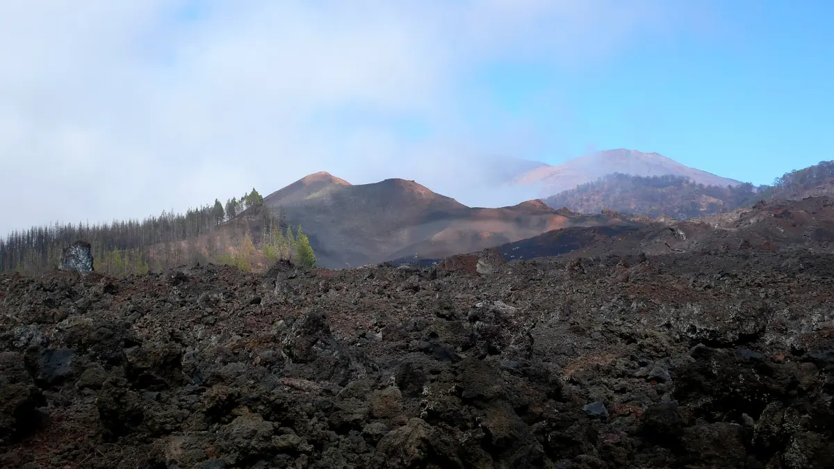
Closures and access in autumn 2026
A regulation on game control, the mouflon rule, restricts several trails outside the national park at dated times, from 07:00 to 16:00. It names the Chinyero trails PR-TF 43, 43.1, 43.2 and 43.3, the trail SL-TF 60 from Santiago del Teide to Arguayo and SL-TF 201 from Chío to Arguayo.
- 21 and 28 October 2026
- Monday, Tuesday, Wednesday and Friday from 4 to 18 November 2026
- 23 and 24 November 2026
The regulation also lists a date in December, but it gives a weekday that does not match the calendar. Ask the authorities before you plan for that date. A trail that needs no individual permit can still be closed on a dated day, so being permit-free is not the same as being open. These closures concern named trails. They do not mean the whole region is shut.
Planning a Chinyero walk
Work through four checks in this order. First, check the date against the closure list above. Second, decide which route you want: the 6.44 km circular route from kilometer 15 of the TF-38, or the linear feeder from the village. Third, plan the timing. At about 2 hours 30 minutes for either description, with the feeder needing a return leg, a morning start gives you room. Fourth, pack for the forest: water, a layer and sturdy shoes.
If a closure falls on your day, use the day for something else on the west side. The Chinyero page is one of several walks and sights listed in the guide to hiking around Santiago del Teide, and the villages above the coast have their own pace.
Arguayo and Las Manchas nearby
Arguayo is a hill village a short way from the reserve. It has the Cha Domitila pottery center and ethnographic museum, in traditional Canarian architecture, on the theme of traditional pottery. The address is Carretera General de Arguayo 35. Check the opening hours and the ticket price before you go.
The municipal tourism page also lists the short route PR-TF 65.5 from El Molledo to Las Manchas, 1.9 km and about 55 minutes, with a link toward Arguayo. It is not the same as a Chinyero loop starting at Arguayo, and no such loop is described. The Santiago del Teide village to Puerto de Santiago path, PR-TF 65, runs through Tamaimo and is on the hiking page.
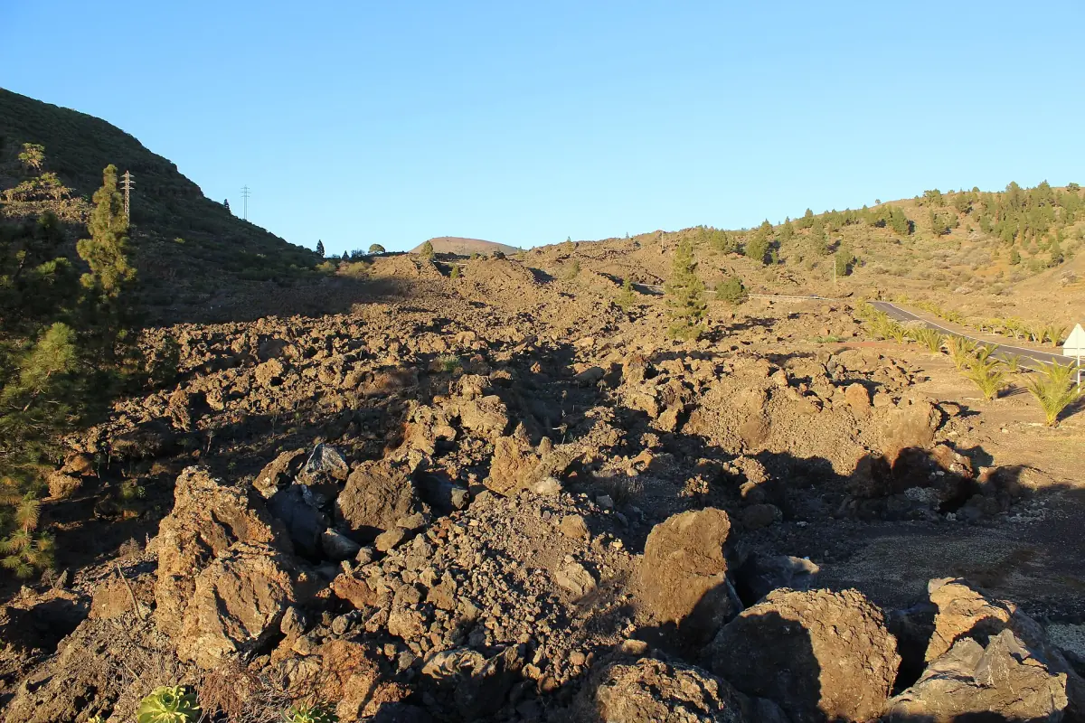
Chinyero: frequently asked questions
When did Chinyero erupt?
The eruption began on 18 November 1909 and lasted about 10 days. It was the last historical eruption on Tenerife.
How long is the Chinyero circular route?
The municipal tourism page gives 6.44 km, about 2 hours 30 minutes, easy, starting at kilometer 15 of the TF-38. The island tourism page describes PR-TF 43.3 as a 7.4 km linear route from Santiago del Teide, so check which one you are walking.
Can I climb the Chinyero cone?
No. The ascent of the cone is forbidden. The route goes around it.
Do I need a permit for Chinyero?
The island tourism listing for PR-TF 43.3 mentions no regular individual permit. Dated closures still apply, such as 21 and 28 October 2026, from 07:00 to 16:00.
Is the whole area closed on those days?
No. The restrictions name specific trails, among them PR-TF 43, 43.1, 43.2, 43.3, SL-TF 60 and SL-TF 201. Check the trail you plan to walk.